Val Ombretta e Rifugio Falier
 Naturalistici


Descrizione
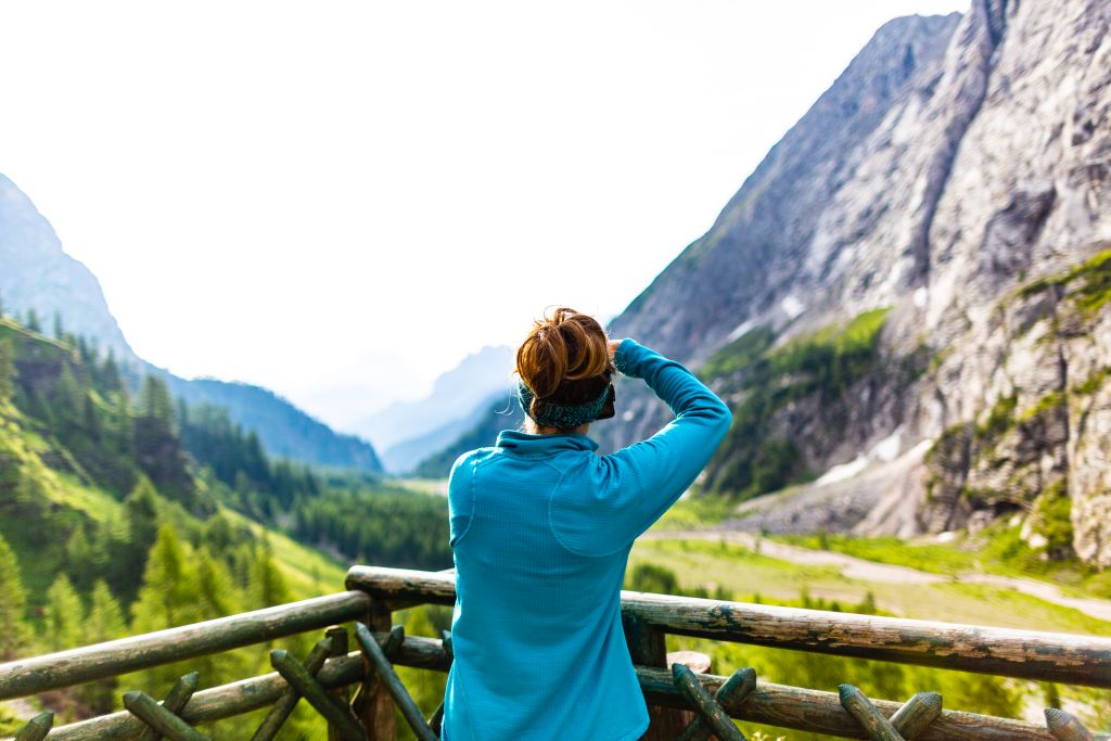
Una tra le più suggestive escursioni è la salita in Val Ombretta con la sua omonima Malga e il Rifugio Falier.
La base di partenza di questo itinerario è in Loc. Malga Ciapela nei pressi del grande parcheggio sterrato prima del camping.
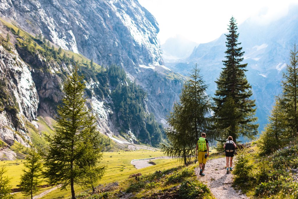
Si raggiunge poi, a piedi seguendo una comoda strada sterrata l'Agriturismo Malga Gran Pian in circa 30 minuti, per poi proseguire lungo il sentiero CAI nr. 610, ampliato ai tempi della Prima Guerra Mondiale, dai soldati italiani.
In circa un'ora si raggiungono agevolmente i pascoli di Malga Ombretta.
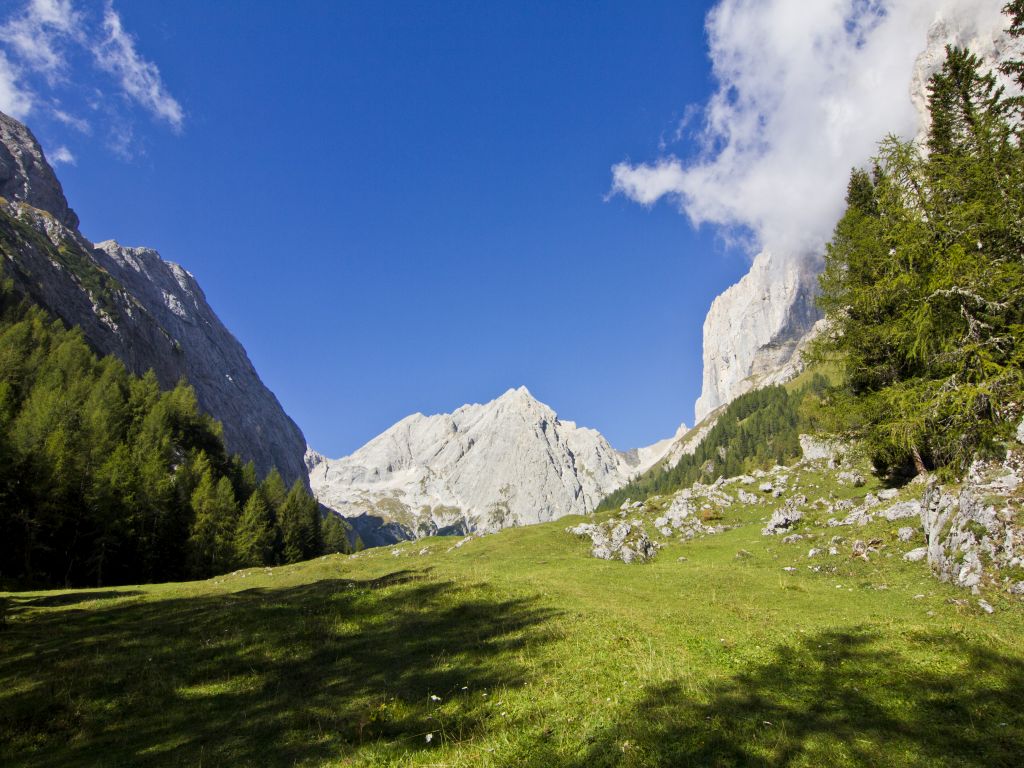
Proseguendo per 40 minuti circa, la visione della parete sud della Marmolada appare grandiosa, spettacolare. Un enorme bastione di roccia levigata, ambito dai migliori scalatori, un rincorrersi di guglie variopinte che sembrano quasi sfidare il cielo e la forza di gravità.
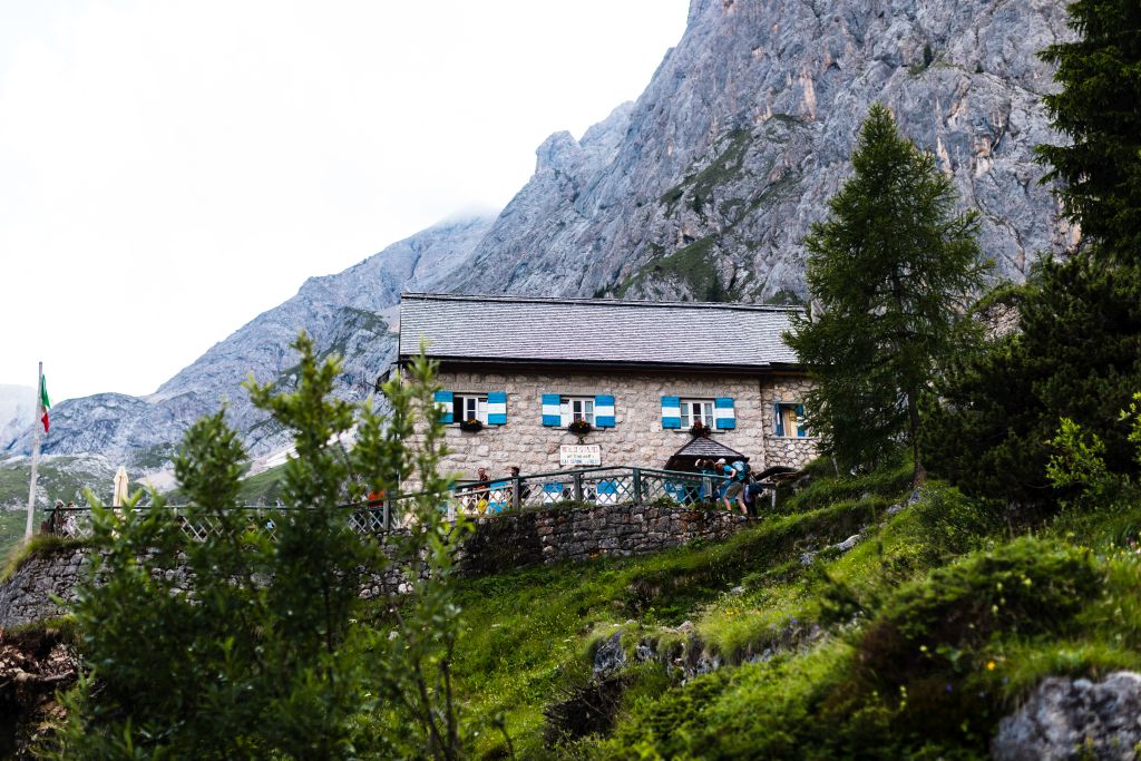
Al cospetto di tale regalità troviamo il Rifugio Falier. Eretto nel 1911, rappresenta uno dei primi rifugi alpini. Durante il primo conflitto mondiale fu incendiato e dopo la ricostruzione, divenne un'importante base d'appoggio per scalatori o escursionisti che desiderano fare la traversata della Marmolada.
Da non perdere lungo il sentiero il totem del Centro Geografico delle Dolomiti Unesco, un monumento nel centro esatto delle dolomiti patrimonio dell'umanità, location ideale per una foto ricordo o per un selfie.
One of the most charming excursions is the ascent trail in Ombretta Valley with a mountain farm of the same name and Falier Refuge.
This trail starts at Malga Ciapela parking lots near the camp site.
You can walk in Agriturismo Malga Gran Pian direction and reach it in about 30 minutes. Following CAI trail no. 610, which was widened by the Italians during the First World War, you will enter Ombretta Valley.
After this short easy stretch you come to the famous Ombretta Mountain Farm and meadows.
After about another 40 minutes the south face of Mount Marmolada looms up in a truly spectacular way. This huge wall of smooth rock, attracting the world’s best climbers, has a succession of colourful steeples that almost seem to be challenging the sky and the force of gravity.
With a view of this magnificent landscape stands Falier Refuge. Built in 1911, it was one of the first Alpine refuges. During the First World War it was burnt down but then rebuilt to become a major resting place for climbers and hikers intending to scale Mount Marmolada.
Along the way don't forget to stop at the Geographical Centre of the UNESCO Dolomites, a sort of totem built by the local artisans in the exact centre of our world heritage. This is surely the perfect location for taking a picture or getting a selfie.